
What is a cataract in geography?
A cataract in geography is a rocky section of a river where water runs fast around shallow channels and exposed stone. The cataracts of the Nile are the best-known example for many travelers because they changed how people moved, traded, and defended territory in Egypt and Nubia.
A cataract is not a waterfall. The water does not drop straight down. Instead, the river breaks around granite outcrops, making boat travel harder and sometimes impossible without unloading cargo or switching routes.
- Fast-moving water over rocks and boulders
- Shallow channels that limit boat travel
- Natural rapids instead of a vertical drop
- A river obstacle that can shape borders and trade
What is a cataract in a river?
A cataract in a river is a rough stretch that interrupts smooth navigation. River cataracts appear where bedrock rises close to the surface, forcing water through narrow passages. The Nile’s cataracts mattered because they controlled movement between southern Egypt and Nubia.
Travelers on the Nile had to deal with these obstacles for centuries. Boats could pass some stretches with local help, but other sections required portage, special timing, or a different route altogether.
Where are the cataracts of the Nile?
The cataracts of the Nile run between Aswan in Egypt and Khartoum in Sudan. Six major cataracts are traditionally counted along this stretch. The First Cataract near Aswan is the one most travelers can still see today.
The First Cataract sits near granite outcrops around Aswan, including the area by Elephantine Island. The Second Cataract is now mostly under Lake Nasser. Farther south, the Third, Fourth, Fifth, and Sixth Cataracts continue toward Sudan.
- First Cataract, near Aswan
- Second Cataract, now mostly submerged by Lake Nasser
- Third Cataract
- Fourth Cataract
- Fifth Cataract
- Sixth Cataract, near Khartoum
Why were the cataracts of the Nile important in ancient Egypt?
The cataracts of the Nile mattered because they acted as natural barriers, not just river features. Ancient Egypt used them as borders, checkpoints, and defensive lines. They also shaped commerce because goods moving between Egypt and Nubia had to deal with the river’s hardest passages.
Cataracts helped define power on the southern frontier. Rulers built forts near key crossings, watched movement on the river, and controlled trade in goods like gold, ivory, ebony, and incense. The geography gave Egypt an advantage, but it also demanded constant attention.
What is the First Cataract in Egypt?
The First Cataract in Egypt is the best known cataract because it sits near Aswan and marks a major break in the Nile’s flow. For much of ancient history, it formed the southern frontier of Egypt. The area is still important for understanding how the Nile shaped life in Upper Egypt.
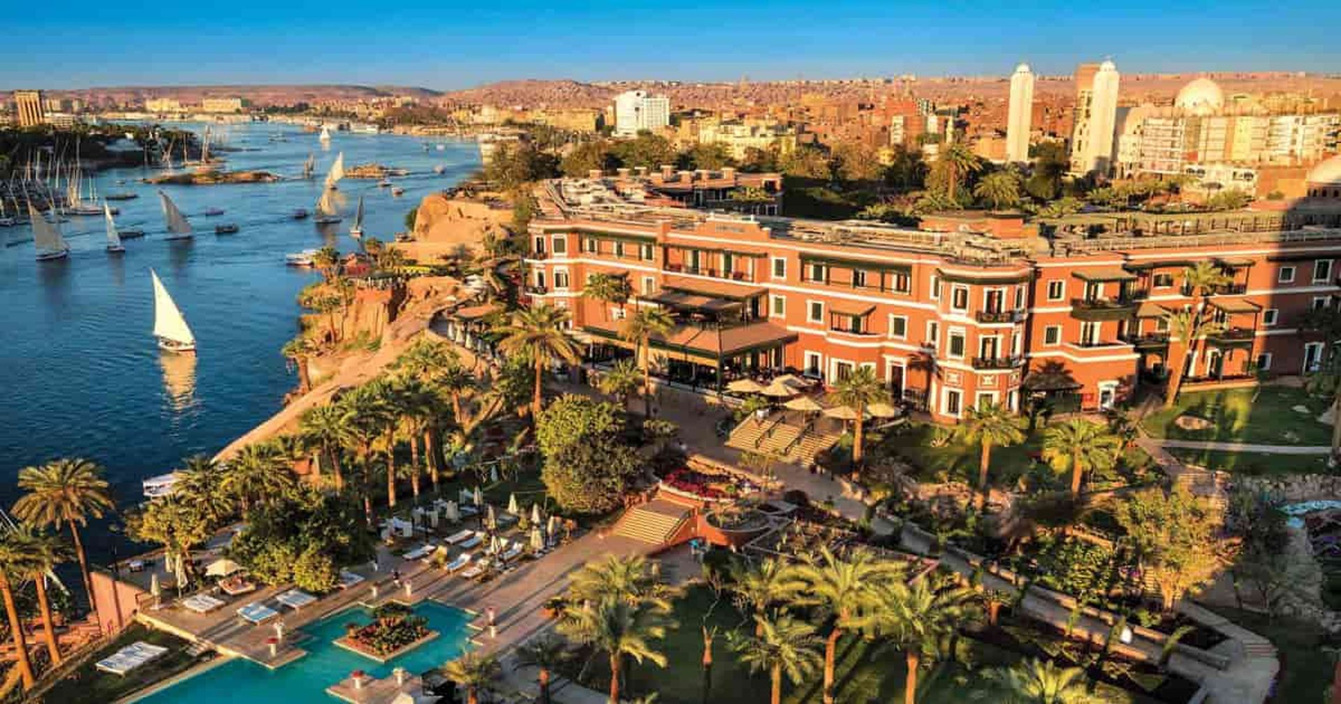
Visitors today can see granite outcrops, islands, and river channels that explain the old geography. The setting near Aswan also connects to temples, quarries, and long-standing river traffic, which makes the First Cataract the easiest place to picture the ancient frontier.
How did cataracts affect trade and military strategy?
Cataracts affected trade and military strategy because they slowed river travel and forced people to control the best crossing points. Ancient Egypt placed fortresses near these bottlenecks so officials could watch boats, collect taxes, and stop hostile movement from the south.
Trade also changed around the cataracts. Cargo often had to be unloaded, carried around rough water, and loaded again. That created local business for guides, carriers, and river workers, while also making the cataracts useful as controlled gateways.
- Trade moved more slowly through cataract zones
- Fortresses watched the river and nearby routes
- Customs and taxes were easier to control
- River bottlenecks became local trade centers
Can travelers see the cataracts of the Nile today?
Travelers can still see the cataracts of the Nile today, especially near Aswan. The First Cataract is the most accessible and the most useful for understanding the topic in person. The view is calmer than many people expect, but the rocks and current still show why the Nile was harder to navigate here.
A boat ride around Aswan makes the geography easier to understand. The river bends, splits around islands, and moves through granite zones that explain why ancient Egypt treated this stretch as a border area.
What should you know before visiting the First Cataract?
The First Cataract near Aswan is best seen on a boat outing or as part of a guided visit in Upper Egypt. Early morning and late afternoon are the most comfortable times for being on the water. The area fits well into a broader Aswan stay that includes temples, islands, and river views.
Guided context helps here. The place looks like a scenic river section until someone explains how the rocks changed travel, settlement, and state power. That historical context is what turns the visit from a photo stop into something meaningful.
- Plan for a boat-based visit in Aswan
- Bring sun protection and comfortable shoes
- Use a guide for the historical background
- Combine the visit with other Aswan sites
Plan with us
Cataracts of the Nile: What They Are and Why They Matter
Learn what the cataracts of the Nile are, where they are in Egypt, and why they mattered for trade, borders, and travel.