An old Egypt map is more than lines and borders—it is a story carved into geography. When we look at a map of old Egypt, we see the Nile River cutting through golden desert, connecting cities, temples, and pyramids that defined one of the world’s greatest civilizations. Understanding an old Egypt map helps us answer a fundamental question: where was ancient Egypt located, and how did geography shape its rise?
From the fertile delta in the north to the rocky lands of Nubia in the south, every ancient boundary tells a story of power, trade, religion, and survival. Whether you’re studying the old kingdom Egypt map or planning to explore the pyramids in person, geography is the key to understanding Egypt’s legacy.
In this complete guide, we’ll explore the map of Old Kingdom Egypt, its borders, regions, cities, and how the Nile River transformed desert into destiny.
Old Egypt Map – Context & Background
To understand the old Egypt map, we must begin with location. So, where was ancient Egypt located?
Where Was Ancient Egypt Located?
Ancient Egypt was located in northeastern Africa, centered around the Nile River. It stretched from the Mediterranean Sea in the north to modern-day Sudan in the south. The civilization flourished along the narrow strip of fertile land created by the Nile’s annual floods.
You can explore more historical geography details through Ancient Egypt, which outlines how the civilization developed along the river valley.
Without the Nile, there would be no Egypt. The surrounding Sahara Desert acted as a natural barrier, protecting the civilization from invasion while also limiting expansion.
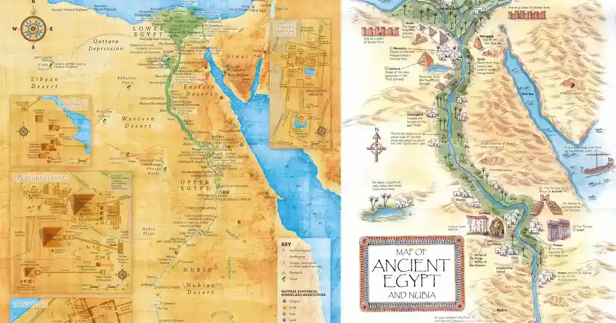
Upper and Lower Egypt on the Map
An old Egypt map typically shows two major regions:
- Upper Egypt – Southern region (higher elevation, upstream along the Nile)
- Lower Egypt – Northern region (the Nile Delta)
This geographic division played a major political role before unification around 3100 BCE under King Narmer.
Why the Old Kingdom Egypt Map Matters
The Old Kingdom ancient Egypt map (c. 2686–2181 BCE) represents the era when pyramid construction flourished. During this period:
- Memphis became the capital.
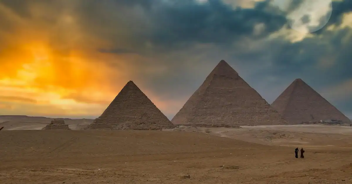
- The Giza Plateau developed as a royal burial ground.
- Trade routes expanded south into Nubia and east into Sinai.
The map of Old Kingdom Egypt helps historians track political boundaries and resource routes that fueled pyramid construction.
Exploring the Map of Old Egypt – Regions, Borders & Landmarks
Looking closely at a map of old Egypt, we notice several defining features that shaped the civilization.
The Nile River – Egypt’s Lifeline
Every old Egypt map centers around the Nile. Flowing from south to north, it provided:
- Water for agriculture
- Transportation routes
- Trade connectivity
- Religious symbolism
The river’s annual flooding deposited rich silt, creating fertile land known as the “Black Land” (Kemet), contrasting with the surrounding desert, the “Red Land.”
Without this geographic structure, Egypt could not have survived.
The Old Kingdom Egypt Map – Capital & Pyramid Fields
The old kingdom Egypt map highlights Memphis as the political heart of the kingdom. Nearby, we find:
- Saqqara (Step Pyramid of Djoser)
- Giza (Great Pyramid complex)
- Dahshur (Bent Pyramid and Red Pyramid)
The map of old kingdom Egypt clearly shows how these sites align along the western bank of the Nile—the land of the setting sun, symbolizing the afterlife.
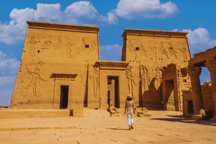
If you explore these iconic locations through Luxury Egypt Tours, you experience the map not as a diagram, but as a living landscape.
Borders of Ancient Egypt
Ancient Egypt’s borders shifted over time. During the Old Kingdom:
- Southern boundary reached into Nubia
- Eastern desert connected to Sinai mining routes
- Western boundary faded into the Sahara
- Northern region opened to Mediterranean trade
A map of Egypt and Sinai old reveals early trade routes for copper and turquoise mining in the Sinai Peninsula.
Trade Routes and Expansion
The old Egypt map was not static. Trade expanded toward:
- The Levant
- Nubia (gold resources)
- Punt (possibly modern Somalia)
Geography influenced political ambition. Access to resources shaped diplomacy and military campaigns.
The Old Kingdom Ancient Egypt Map – Power and Symbolism
The old kingdom ancient Egypt map reflects more than geography—it reveals centralized power.
Memphis: The Strategic Center
Memphis was located at the meeting point of Upper and Lower Egypt, making it ideal for governance. Its placement on the map of old Egypt demonstrates strategic thinking—control the center, control the kingdom.
The West Bank and Afterlife Beliefs
Most pyramids were built on the western bank of the Nile. Why?
Because the sun sets in the west, symbolizing death and rebirth. Geography and religion were inseparable.
Expert Insights – Understanding the Old Egypt Map Today
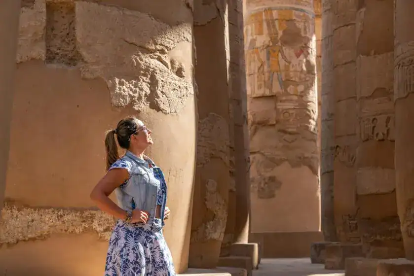
If you’re planning to explore Egypt, understanding the old Egypt map adds depth to your journey.
Why Geography Matters for Travelers
When visiting:
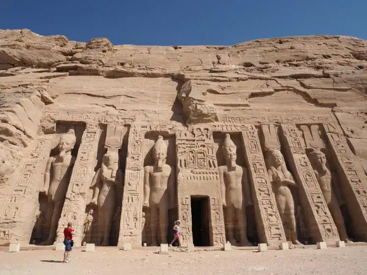
- Giza lies near modern Cairo.
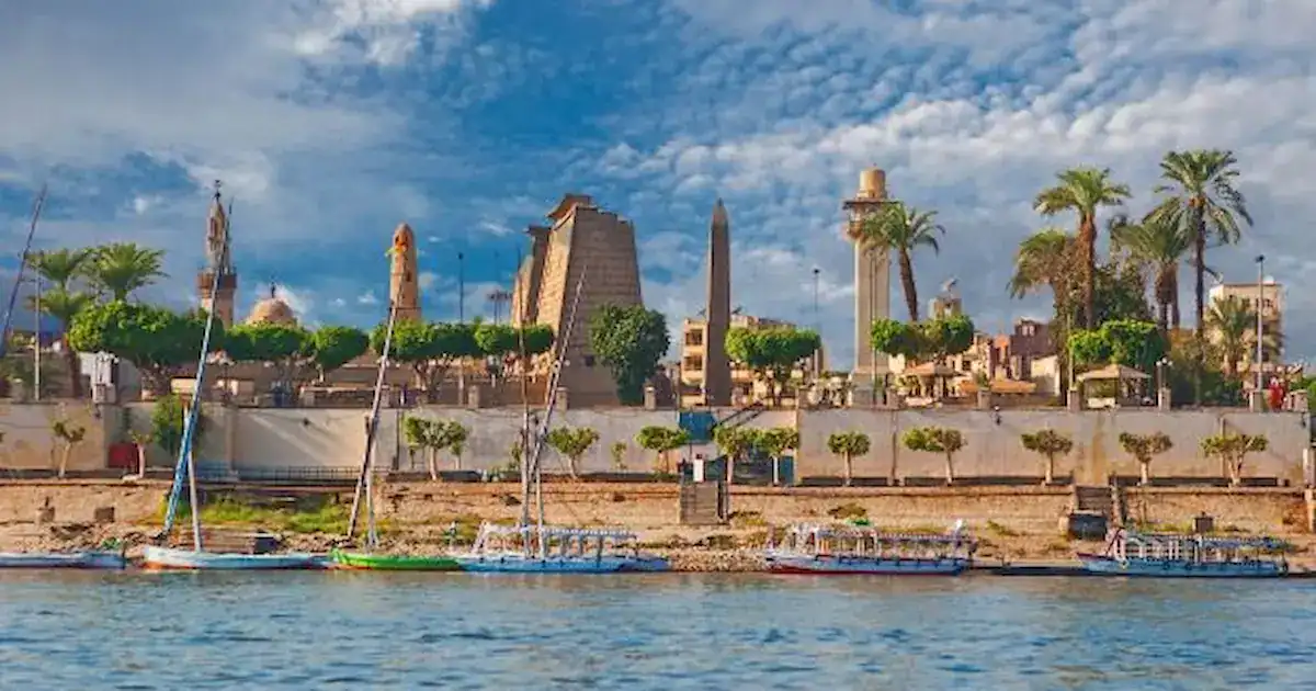
- Luxor corresponds to ancient Thebes (New Kingdom capital).
- Aswan marks ancient southern boundaries.
Seeing these places on a modern map compared to an old Egypt map helps you visualize history unfolding across thousands of years.
Travel Tips for Exploring Ancient Sites
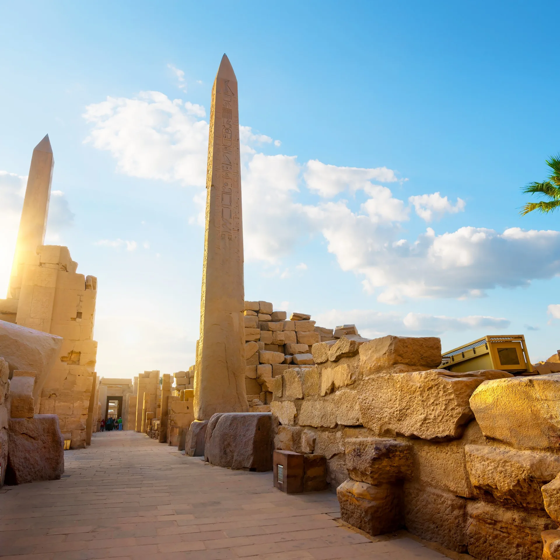
- Visit Giza early morning to avoid crowds
- Combine Memphis and Saqqara in one tour
- Explore Nile cruises to follow the ancient trade route
- Travel between October and April for cooler weather
On Egypt Classic Tours, itineraries often follow the same north-south pattern visible on ancient maps—mirroring how pharaohs once traveled.
Old Egypt Map and Modern Egypt – A Comparison
Comparing a map of old Egypt with modern Egypt reveals fascinating continuity:
- The Nile remains central.
- Major cities still cluster along the river.
- Desert areas remain sparsely populated.
The geography that shaped ancient civilization continues to shape modern life.
Conclusion – Why the Old Egypt Map Still Matters
An old Egypt map is not simply an academic tool—it is a window into how geography shaped one of the greatest civilizations in history. From the fertile Nile Valley to the protective deserts and strategic trade routes, every boundary tells a story of survival, innovation, and divine kingship.
Understanding the map of Old Kingdom Egypt allows us to see why pyramids were built where they were, why capitals shifted, and how natural landscapes influenced spiritual beliefs.
If you want to experience this geography firsthand, explore our Luxury Egypt Tours or immersive Egypt Classic Tours and walk the very land that ancient maps once defined.
The old Egypt map continues to guide us—not just across territory, but across time.
1. Where was ancient Egypt located?
Ancient Egypt was located in northeastern Africa along the Nile River, stretching from the Mediterranean Sea to Nubia in the south.
2. What does a map of old Egypt show?
A map of old Egypt shows Upper and Lower Egypt, the Nile River, major cities like Memphis, and key pyramid sites.
3. What were the borders of the Old Kingdom Egypt map?
The Old Kingdom extended from the Nile Delta in the north to parts of Nubia in the south, with trade routes reaching into Sinai.
4. What is a map of Egypt and Sinai old?
It refers to ancient maps highlighting trade routes between Egypt and the Sinai Peninsula, known for mining resources like copper and turquoise.
5. Why is the old kingdom ancient Egypt map important?
It helps historians understand political organization, pyramid construction locations, and the geographic factors that shaped Egyptian power.
Final Reflection
When you look at an old Egypt map, you are not just seeing rivers and borders—you are seeing the foundation of civilization. And when you walk those lands today, you realize the map was never just geography. It was destiny written in sand and stone.